2019 Eastern Australian Waterbird Survey underway
Published on the 02 Oct 2019

And we’re off again - starting the 37th year of the Eastern Australian Waterbird Monitoring Program.
Over the next few weeks we will be tracking changes in waterbird numbers, breeding and distribution. We’ve got many hours of sitting in a plane ahead of us (over 100!), and many wonderful sights to see across Australia.
Keep up to date with the progression of our survey through the daily blogs for 2019, and check out the 30 year data set here!
Keep reading below for more information on the survey.
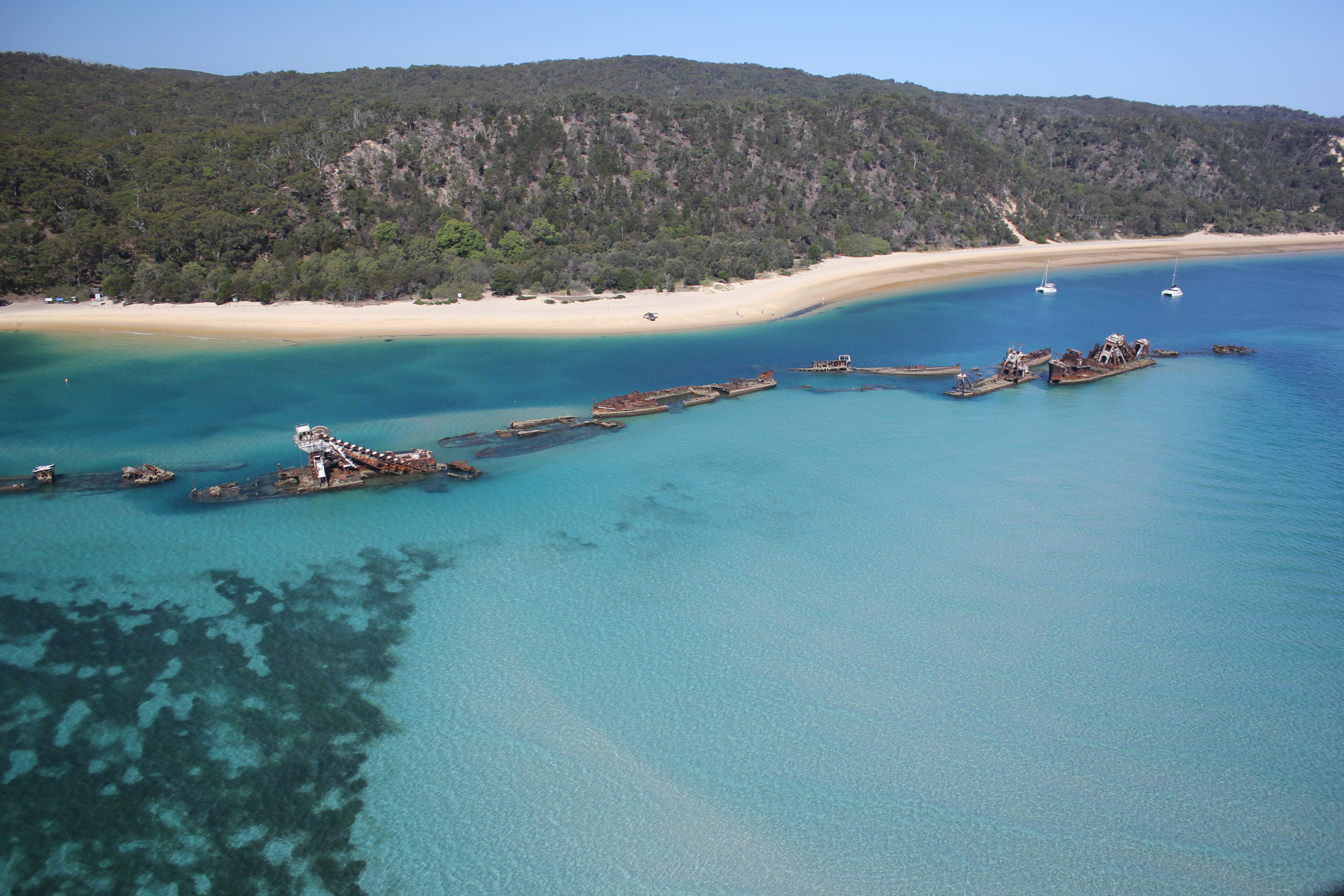
![]()
Aerial survey of waterbirds provides one the few quantitative, large scale biodiversity datasets that can monitor changes in the distribution and abundance of 50 waterbird species, including threatened species, and the health of rivers and wetlands. The survey is a powerful tool to observe changes in Ramsar wetland condition as well as other global and international conservation agreements. The survey can also detect potential long term changes through implementation of the Basin Plan.
The Eastern Australian Waterbird Survey is one of the largest wildlife surveys in Australia, surveying major wetland sites in the Murray-Darling Basin, providing invaluable information on the ecosystem health of wetlands and rivers. This long term data provides the essential baseline information with which to assess changes and impacts on the environment, particularly wetlands and rivers. It is also providing some of the only long-term objective data on waterbird populations in Australia. This has proved particularly relevant in understanding the dynamics of environmental water needs for biodiversity purposes especially as they relate to waterbirds and wetlands. Changes in waterbird numbers provides a tangible way of indicating and measuring changes in the ecological health of river and wetland systems.
The surveys began in 1983, when the eastern states (Queensland, New South Wales, Victoria and South Australia), the Commonwealth government and the CSIRO began an ambitious program to monitor waterbirds across one third of the continent, from the east coast to the Northern Territory border and from Prosperpine to south of Melbourne. From 1987- 2004 the survey project was run by the New South Wales National Parks and Wildlife Service. Since 2005 the project has been run by The University of New South Wales, based on its recognised long term expertise in this field.
Detailed data and expert analysis produced from the aerial survey project have provided the impetus for major improvements to onground management of waterbirds, rivers and wetlands. The ongoing and up to date information provided as a result of the surveys has been vital in identification of the national importance of inland wetlands, protection of the Paroo River and Cooper Creek and major changes or contributions to water management policies for the Macquarie Marshes, Menindee Lakes, Lowbidgee floodplain wetlands.
Many of the Commonwealth’s responsibilities in relation to migratory waterbirds and management of wetlands under the EPBC Act are informed by the information collected during the aerial survey. The survey information has provided a substantive base for discussions held under Australia’s bilateral agreements on migratory waterbirds with Japan, China and the Republic of Korea.
In October of each year, waterbirds in eastern Australia are counted from the air on up to 2000 wetlands (100 hours flying). Abundance indices for all waterbird species are collected during aerial surveys of eastern Australia each year on every wetland surveyed. An area of 2,697,000 km2 is systematically sampled with ten survey bands 30 km in width, spaced every 2° of latitude from 38°30’S to 20°30’S (Kingsford et al. 1999a, see Braithwaite et al. 1985 for methodology). More than 50 taxa of waterbirds are counted on all water bodies larger than 1 ha. All lakes are surveyed during October each year from a high-winged aircraft (Cessna 206) with two observers, one each side of the plane, estimating numbers of waterbirds of each species onto digital audio recorders. The aircraft is flown at a height of 30 – 46 m and a speed of 167 km hr-1 (90 knots), within 150 m of the shoreline, where waterbirds usually congregate (Kingsford and Porter 1994). Most waterbirds are identified to species, although species in four groups could not be separated: small egrets (3 species), small grebes (2 species), small (>20 species) and large (>5 species) migratory waders (Kingsford and Porter 1994; Kingsford et al. 1994). Either the whole wetland is circumnavigated or a proportion of the wetland (> 50 %) counted. Counts for each species are totalled for each observer to give either a total count for a wetland or a proportional count for the wetland.
This survey is run by the Centre for Ecosystem Science at the University of NSW in partnership with the NSW Office of Environment & Heritage, with additional funding provided by the South Australian Department of Environment, Water, and Natural Resources, the Queensland Department of Environment and Heritage Protection, the Victorian Department of Environment, Land, Water & Planning, the Victorian Game Management Authority and the Department of Environment of the Australian Government.