Seeing the wood from the trees – improved methods for mapping vegetation
Published on the 18 May 2016

Conservation of Australia’s precious native vegetation is set to be enhanced with the development of new methods to improve mapping of plant communities by UNSW scientists.
“Managing what is left of Australia’s native vegetation is a fundamental challenge for governments, industry and communities who want to see a better balance between development of the landscape and conservation of our unique flora and fauna,” says study lead author and research fellow in the UNSW Centre for Ecosystem Science Dr Mitchell Lyons.
“Vegetation maps are an important tool for informing decisions about landscape planning, development, conservation and restoration. Critically, they tell us where the most valuable types of vegetation are likely to be found.
“Our approach, which uses modern statistical techniques to improve the way vegetation communities are classified from on-the-ground surveys, helps take the guesswork out of mapping,” he says.
The study, by Dr Mitchell and his colleagues in the UNSW Centre for Ecosystem Science, is published in the Journal of Vegetation Science.
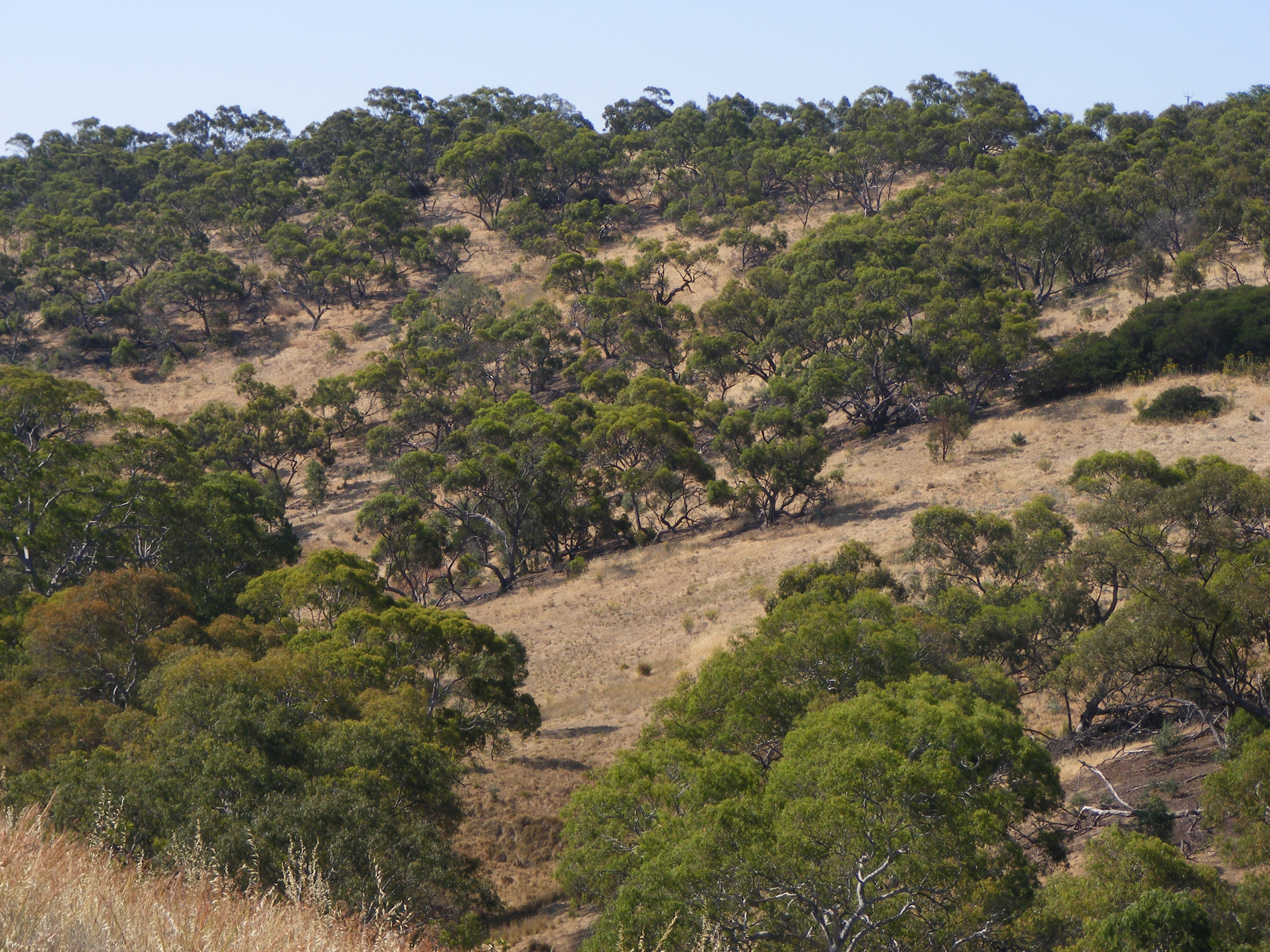
To form maps, native vegetation is first classified into different types of communities, reflecting groups of plant species that are usually found together.
It is important to be able to distinguish accurately between different vegetation communities. For example, there are many different types of Grassy Woodland communities. While they all have grassy ground cover and may share some species, they can differ in many other respects, due to their location and the particular threats they face.
Traditionally, the accuracy of these classification decisions has been checked manually by experts.
“But for a long time we have needed to move towards a more objective approach,” says study co-author and Director of the UNSW Centre for Ecosystem Science Professor Richard Kingsford.
“It is really important that Governments have the tools to assure the public that there is a rigorous and transparent evidence base for making decisions about clearing or protecting areas.”
The UNSW approach uses sophisticated statistical models to analyse millions of relationships between different observations of plants, and then test the predictive ability of the vegetation community labels.
“We are really getting into the fine detail here and making the most of the data to drive our understanding,” says Dr Lyons.
“A predictive modelling approach allows us to identify which vegetation community labels we can be confident about, because they accurately predict the species that are present, and which labels we need to discard or revise.”
Study co-author Professor David Warton from the UNSW School of Mathematics and Statistics adds: “Statistics is a rapidly changing field and there are heaps of important questions in ecology that we can answer better using modern statistical thinking. Our work in vegetation mapping is just one example of this.”
This research was supported by the Australian Research Council through the Linkage scheme, as well as by the Science Division of the NSW Office of Environment and Heritage.
Media contact: UNSW Science media officer: Deborah Smith: 9385 7307, 0478 492 060, deborah.smith@unsw.edu.au