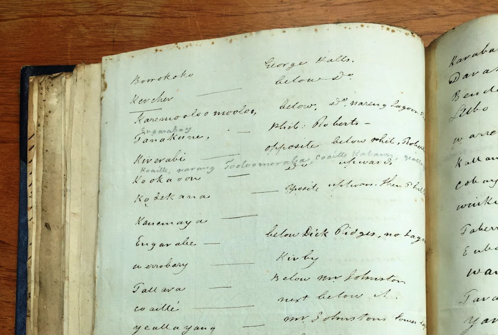
How a long-lost list is helping us remap Darug place names and culture on Dyarubbin, the Hawkesbury River
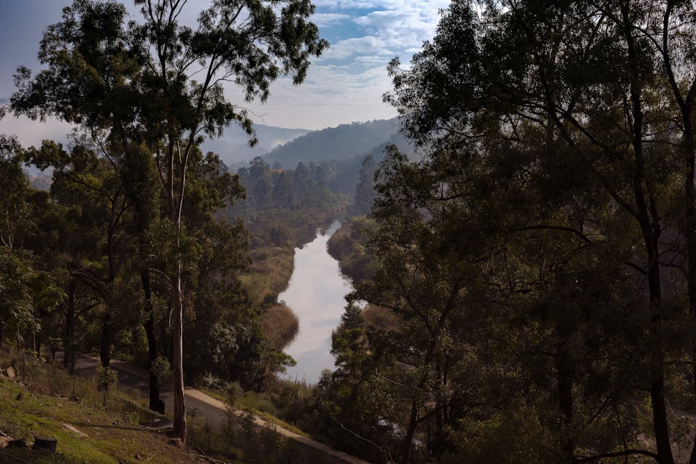
A list of Aboriginal names for places on Dyarubbin, the Hawkesbury River, has unlocked a wealth of new information.
Published on the 18 Dec 2020