Ditch the car to improve Sydney’s liveability
The problem in fast-growing Sydney isn't too many people, it's too many cars, says a UNSW urban design expert.
The problem in fast-growing Sydney isn't too many people, it's too many cars, says a UNSW urban design expert.

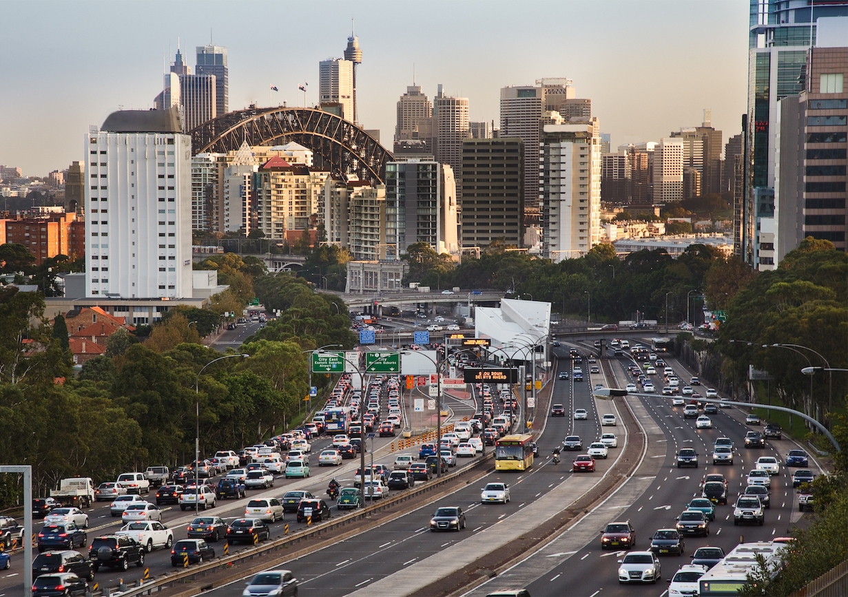
An obsession with driving is undermining the liveability of Sydney, says a UNSW Built Environment landscape architect and urban designer.
Dr Mike Harris says the vehicle-centric ideology that dominates much of Sydney's planning policy is outdated and “simply doesn't work”.
“Cars are the dominant form of transport in our city, not because it's the most efficient, but because the planning system has favoured them for so long … and continues to prioritise the model despite the damaging impacts,” he says.
“You can ascribe a lot of the problems Sydney is experiencing in terms of liveability to the dominance of cars, such as commuter stress, cost of living, endemic rates of poor health, the urban heat island effect [of climate change], to name a few.”
The urban landscape designer investigates network planning and street design and champions a departure from auto-based planning to people-based-planning.
“Any time the pedestrian or the human experience in the public domain is lower on the hierarchy of importance, it negatively affects the quality of our city, and subsequently our attachment to it,” he says.
“If we want our public domain to be sustainable and for the public good, we need to shift to designing for people, rather than cars.”

He says Sydney needs to prioritise other forms of transport over cars to improve access to places of employment and education, and meet other daily needs.
“Designing cities around the experience of people will be essential to manage densification sustainably and lead to more positive community, health and economic outcomes,” he says.
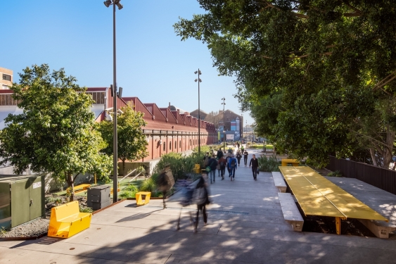
“The fewer cars we have, the more space there will be for everything else the community needs: better footpaths and gathering spaces, playgrounds, trees and small green spaces, habitat and cleaning stormwater.”
Landscape architects and urban designers understand the importance of people-based planning in principle, but they can be restricted by politics when it comes to executing the design, he says.
“Practitioners do shoulder that duty, but it does come down to how much the government is willing to set the agenda,” he says. “Continuing to fund multibillion-dollar motorway expansion projects like WestConnex only continues to incentivise the dominance of the car and undermine people-based city planning.”
He says the state government's track record of mismanaging public transport projects results in the projects falling short of public expectations.
“Sydney falls down when it comes to metropolitan-scale thinking,” he says, while acknowledging the creation of the Greater Sydney Commission is intended to address this. “Sometimes, even positive big projects reduce the quality of the public domain, which doesn't need to happen.”
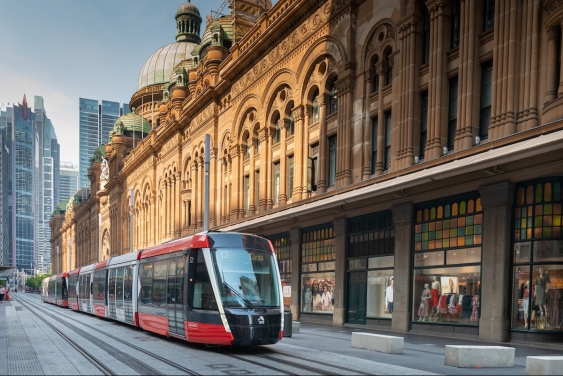
An example of this is the light rail, which he says should improve public transport carrying capacity and result in fewer cars on roads.

"What you would expect to happen, is the removal of car lanes, which aligns with the project objectives of reducing car use,” he says. "This happened on George Street, but then extra car capacity was sought elsewhere in the network.
"Rather than reduce car traffic lanes in some locations, we lost the most well used separated cycleway in the city and a historic avenue of 130-year-old fig trees along Anzac Parade.
“Remodelled intersections are now huge traffic machines that have made it much more difficult for pedestrians to cross and cyclists to navigate.”
Dr Harris says there are many examples around the world where road capacity has been reduced successfully in favour of public transport, bike lanes and improving the public domain.
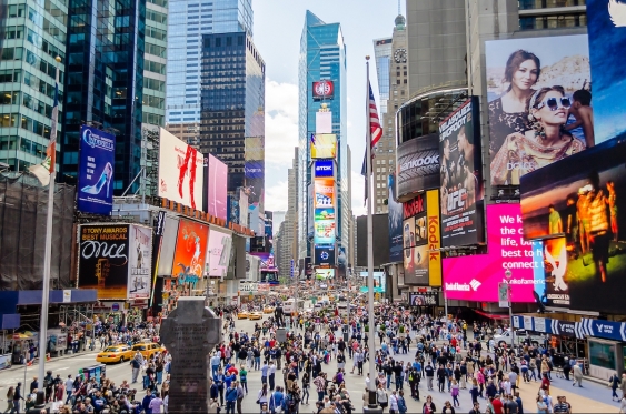
“New York created a stack of new urban spaces by removing road space previously allocated to cars, including Times Square. Rather than grind the city to a halt, as some predicted, traffic actually improved,” he says. “The same happened in Seoul when an elevated motorway was replaced with a stream and pedestrian boulevard.”

“Copenhagen is an oft-quoted example as they have for the past three decades been steadily increasing their metro and separated bike lane network, while at the same time gradually reducing the amount of street space used for car travel and parking. While the city's population grew by 15% in 10 years, car use decreased by 3%.”
While Sydney is behind when it comes to integrated urban planning, he believes the recent opening of the north-west metro line is a sign of improvement.
“A metro line is ideal for shifting people from cars to public transport and increasing equitable access across the city. It's a much faster and easier form of transport because it's largely underground, and it also presents more opportunities for creating community spaces around station hubs.”
He says that means more opportunities for planting, more open and green spaces, and more human interaction.
“We are playing catch-up if you consider the century-old metro networks of cities such as New York, London and Berlin, and there is a lot of work to do to try and turn around the inertia of car-based planning.
“It is going to take some serious ambition and some big calls about what type of city we want. But the less we incentivise projects like WestConnex and the more metro-type projects we advance, the closer we'll get.”