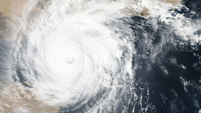
Despite being a low intensity category cyclone, Tropical Cyclone Oswald (2013) is considered to be one of the highest impact storms to make landfall in Northern Australia.

According to Dr Difei Deng, ARC DECRA (Discovery Early Career Researcher Award) Fellow at UNSW Canberra, after making landfall on Cape York Peninsula, Oswald and its remnant persisted for more than 7 days moving parallel to the east coastline as far south as Tamworth, causing widespread heavy rainfall, catastrophic flooding, high winds, storm surge and tornadoes during its passage southwards.

“Seven people died, and thousands of people were evacuated. Key infrastructure including houses, bridges, transport links, and communication was damaged and destroyed. Across the affected region, damage from severe weather and flooding amounted to over US$2.5B.

“Based on this, Oswald is thought to be one of the highest-impact, and wettest storms in Australian history,” Dr Deng said.

Each year we hear of cyclones forming and potentially making landfall on Australia, but what are they? Simply put tropical cyclones are intense low-pressure weather systems made up of a clear eye surrounded by an eyewall, and with rainbands that spiral out from the eyewall. Both the eyewall and rainbands are made up of many thunderstorms that are sustained by the moist warm tropical air that converges in toward the eye region due to the low pressure in the eye.

These thunderstorms can produce very heavy rainfall. Normally, the stronger tropical cyclones are, the more severe the thunderstorms are. This is what causes the damage.

However, according to Dr Deng the actual tropical cyclone related rainfall processes are very complicated.

“Even a weak tropical cyclone or its remnants such as TC Oswald (Cat 1) can produce unexpected torrential rain under favourable conditions. However, these weak systems are regularly neglected and underestimated.” she said. 

“Forecasting rain, especially for landfalling tropical cyclones is complicated as rainfall is influenced by many factors including the differences at the coast between the ocean and land surfaces, the local terrain, the tropical cyclone translation speed, and multi-scale environmental factors. Consequently, rainfall can vary greatly from tropical cyclone to tropical cyclone and even at different times for the same tropical cyclone. "

“Heavy rainfall associated with the passage of a tropical cyclone can produce extensive flooding  over land. Oswald caused widespread rainfall to eastern Australia during its passage southward. Weipa station recorded 328 mm in 24 hours, Cairns and Townsville received the maximum rainfall over 500 mm. The most significant rainfall was in the Rockhampton area, where the rainfall amount exceeded 700 mm at several stations. All of this leads to widespread damage.”

So, why is understanding this important? Australia is ranked as one of the countries with the highest tropical cyclone-related rainfall in the world and the rainfall associated with the landfall of tropical cyclones continues to be one of the most challenging forecast problems and needs further investigation.

For the next steps in research on this subject, Dr. Difei Deng and her mentor Professor Liz Ritchie, also from UNSW Canberra, will focus on understanding the processes that produced enhanced rainfall following landfall of Australian tropical cyclones over the past 30 years to understand why weak tropical cyclones and their remnants can still produce such heavy rainfall and to improve fundamental understanding of high-risk locations, spatial-temporal characteristics, and the thermodynamic-dynamic mechanisms that produce rain over Australia.