Learn about our projects within geospatial research innovation development, including navigable space identification, navigation for disabled people and analytics for agile decision making.
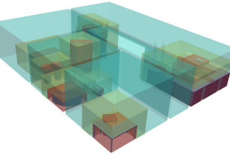
Navigable space identification
3D reconstruction and subdivision of indoor space can enable effective use of buildings
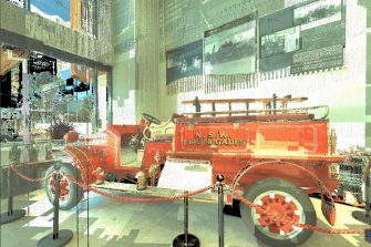
Indoor scanning of F+R NSW
Combining indoor and outdoor scans is a challenging process
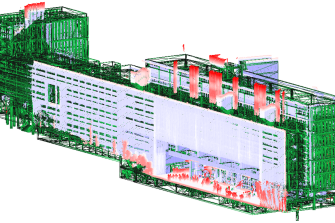
Navigation for disabled people
Enabling advanced facility management and location-based applications for disabled people are necessary
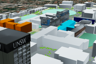
BIM and 3DGIS
Effective integration and management of BIM and GIS data for precinct modelling purposes
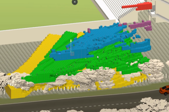
Strategies for planning safe and secure public domains
Guide decision-making processes and actions by understanding the national and international contexts aligned with safety and security of public open spaces and buildings.
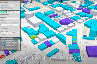
Liveable city digital twin
Piloting a precinct level, analytics-aided, and standards-based 3D/4D digital twin in Western Sydney (NSW) focused on urban liveability and climate adaptability use cases.
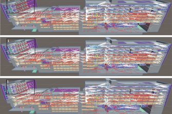
BREATHE
Using multidisciplinary methods in infectious diseases transmission, air flow and aerosol science, computational fluid dynamic and agent based modelling of simulated indoor environments, this study will generate novel research to meet critical gaps in knowledge, collaborating internationally across disciplines, and building capacity in Australia.
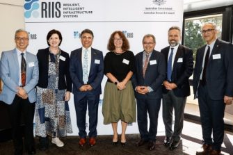
RIIS
RIIS is an industry and ARC funded research and innovation hub for smart infrastructure. It engages with industry, government, and the community to develop and implement science-based policy and integrated practical solutions to the current and future challenges facing Australia’s urban, resource and energy infrastructure.

ArchManu
ARC Centre for Next-Gen Architectural Manufacturing
Integrated and Responsive Indoor/Outdoor Navigation
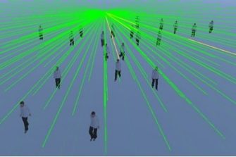
Privacy preserving crowd monitoring

IFC2IndoorGML- ISPRS scientific initiatives
This pilot will create and advance solutions to indoor mapping and navigation for first responders.
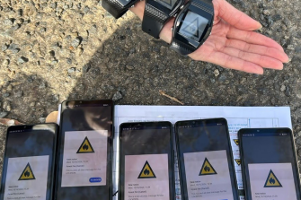
Michibiki EWS
GRID UNSW have completed the Australian field testing for the Michibiki Early Warning System (EWS). This satellite system is designed to enhance positioning, messaging and preparedness for bushfire, flood, earthquake and other hazards across Japan, Australia and the Asia-Pacific.
