

Date: Wednesday, October 3, 2018
Project: Eastern Australian Waterbird Survey
Observers: Richard Kingsford
Out of Maroochydore on a fairly miserly morning but the rain soon disappeared. We started with the most eastern part of Band 7, a few dams and Lake Weyba, just south of Noosa. And then headed north, along the wonderful shoreline of the Great Sandy National Park.
From there, we flew south of Fraser Island and across Hervey Bay. This is one of my favourite parts of the aerial survey, flying over flocks of migratory shorebirds on the hundreds of mudflats. This is one of Australia’s most important shorebird areas.
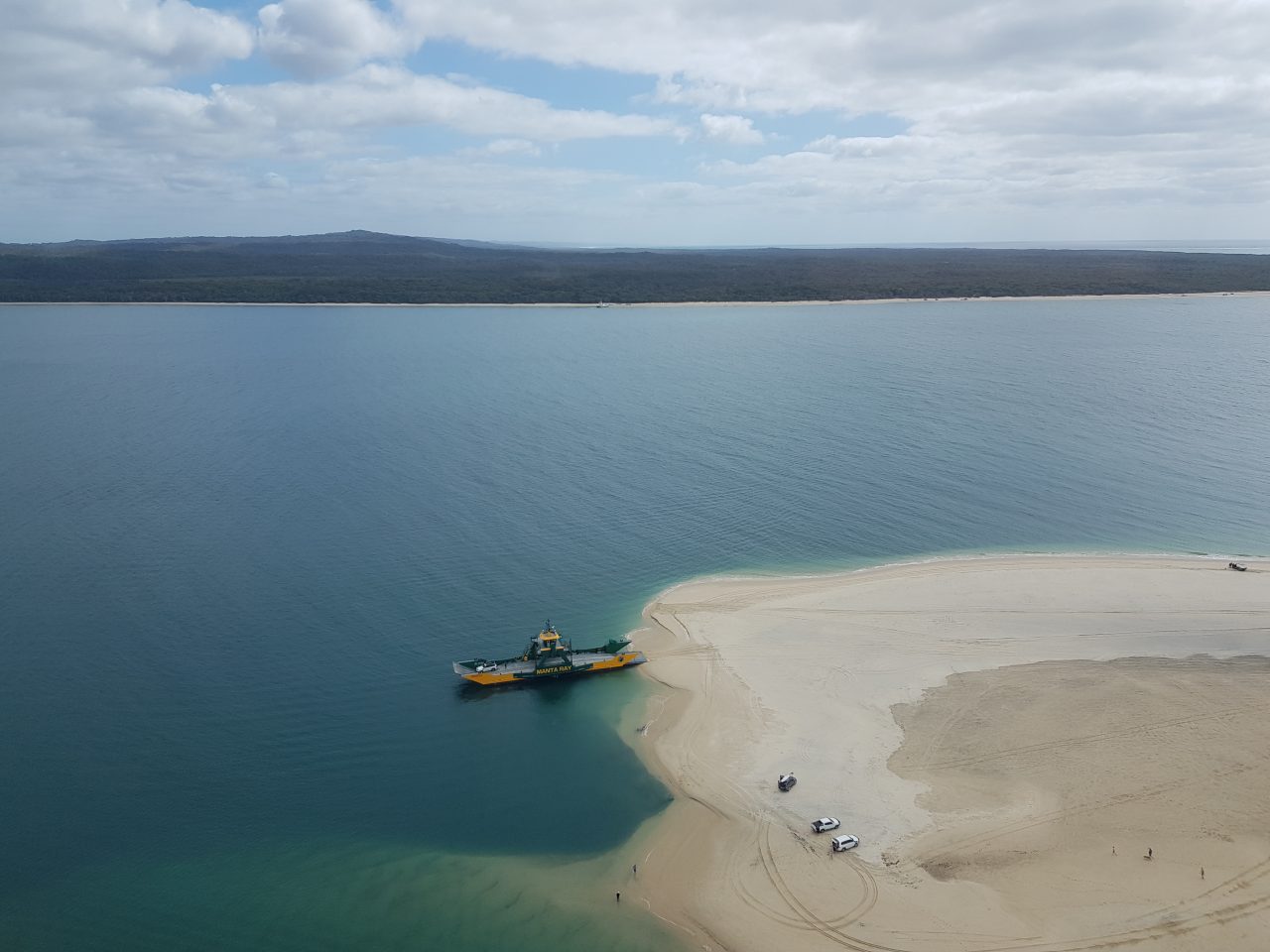
Ferry to Fraser Island
The shallow waters of Hervey Bay are clear and so seeing the odd turtle and dugong can be a treat. I saw a couple of turtles but no dugongs today. As we headed north, we increasingly moved away from more built up areas on this part of the survey. Next on our survey list, was the eastern most point of Band 8, which is just north of Bundaberg - Baffle Creek. In more than 30 years of aerial survey, this is an area which has changed in terms of increasing irrigation and aquaculture developments. Our stop off was in Gladstone to refuel before heading north again over the incredibly complex patterns made by the Fitzroy River as it reached its delta.
The next survey band is no 9, which stretches from south of Mt Isa in the west through to Shoalwater Bay in the east. We pick up the survey band at Glen Prairie Station. This was disappointing with hardly any water. There was one patch, not much more than a ‘puddle’, with several hundred teal and black duck. As they say – ‘it was driest I’ve ever seen it’.
And then east to the Styx River floodplain. When it is wet, this is a special place, with sometimes thousands of magpie geese, radjah shelduck and brolgas, among the flocks of grey teal and black duck. This was the first large area of wetlands where we really saw the grip of the drought. Only small patches of water with waterbirds. Instead, the Styx River floodplain had a few scattered bodies of cattle – one cow dejectedly stood over her dead calf.
Finally another 200 km north to the eastern point of Band 10, which is the Proserpine floodplain. Over the years, this is another area where there have been dramatic changes in waterbird numbers. It has been many years since we have seen the high biodiversity and abundance in this area, probably because the flooding has decreased after Prosperpine Dam was built. Today was no different – it was very dry.
There were no more than a handful of ‘wet’ lagoons across this massive floodplain. There were still glossy ibis but the magpie geese, which have numbered in their thousands on this floodplain, were only a few hundred on one of the large dams.
We finished for the day and landed at Shute Harbour, overlooking the Whitsunday Islands, the airport for Airlie Beach where we overnighted.
A pair of radjah shelducks, sometimes in their hundreds on the Proserpine River floodplain, were sitting on the small creek behind the airport.