Day 3, Mount Isa to Rockhampton


Date: Thursday October 6th 2022
Project: Eastern Australian Waterbird Survey
Observers: Richard Kingsford & Paul Wainwright
Pilot: Tim Dugan
We had to get up really early and pack the plane ready for the long day ahead. This leg is probably the longest we do.
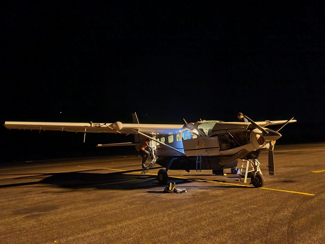
Packing the plane before dawn.
We then flew down to survey Band 9 which started on the Georgina River, directly south of Mt Isa. First survey was on Lake Katherine, a perennial waterhole on the river. This was one of those years where there were a few hundred cormorants on the waterhole, rather than the usual small flocks. Indicating there is likely to be a large concentration of fish this year in Lake Katherine.
Surveying Lake Katherine on the Georgina River at daybreak.
Then we started flying west as the sun came up.

Sunrise
Along here, we surveyed the odd farm dam, mostly they were only about half full. They usually had no birds, but some of the larger ones had up to 30 waterbirds.
Surveying one of the farm dams in the desert country east of the Georgina River.
Mostly we flew over dry but spectacular areas as we head east across the rivers running north to south.

Spectacular landforms in the morning sun in this desert country.
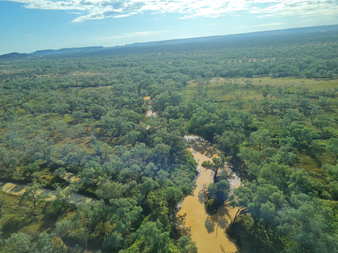
When the rains come, these dry areas run-off into the networks of complex creek systems and run into the big rivers like the Georgina and Diamantina Rivers.

Intricate creeks with their interweaving channels link up to flow into the big rivers.
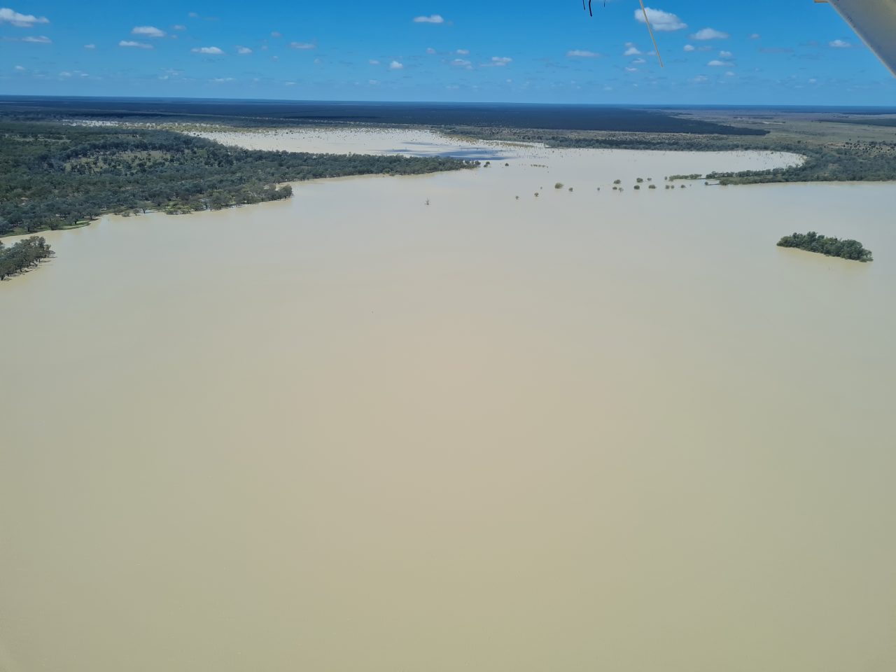
One of the big rivers along here is the Diamantina River, already quite a few kilometres wide, with its myriad of different channels of all sizes forming a network across the floodplain.
A major channel on the Diamantina River
We surveyed along the river for quite a while but, as always, these rivers don’t make great waterbird habitat once the flood has passed through quickly. It was either flowing or had recently been in flood because many of the channels were full.
Surveying the channels of the Diamantina River.
It is when the water gets into the downstream lakes and floodplains and sits, that large extensive habitats are created for waterbirds. There were no waterbirds on my side of the plane on the Diamantina River here.
We then flew on to refuel in Longreach, after flying down the Thomson River which eventually meets Cooper Creek.

The Thomson River which flows past Longreach.
After lunch, we flew further east where the country looks incredibly green.

Green plains north of Longreach.
The freshwater Lake Dunn was full and had up more than a hundred waterbirds, including more than fifty brolgas.
Lake Dunn, north of Aramac.
Given the area of the lake, there were still relatively few waterbirds. Even inland the waterbirds are thin on the water. This is mainly because it is a freshwater lake.
Surveying Lake Dunn
We then headed north to Lake Galilee which is spectacular when it has water. Today, it only had a very small area on one of the creeks that flows into the lake, with few waterbirds.
Surveying the creek flowing into Lake Galilee, the last of the water.

Lake Galilee’s water.
We then headed east for Rockhampton and along the way surveyed mainly farm dams, varying considerably in the size, flooding and value for waterbirds.

One of the large dams that had dried right back, presumably with little runoff.

Another of the farm dams with more than a thousand Plumed Whistling ducks on the water and its edges.
We then passed the large coal mines and surveyed a series of small lagoons along the Isaac River and nearby dams.
This is always a hotspot for brolgas.
About 200 brolgas on one of the small lagoons in a cleared area.
We then headed off to overnight in Rockhampton.