Day 8, Tibooburra to Bourke


Date: Tuesday October 11th 2022
Project: Eastern Australian Waterbird Survey
Observers: Richard Kingsford & Paul Wainwright
Pilot: Tim Dugan
Up early to head north for a flight over the Strzelecki Desert and its temporary lakes. They were nearly all dry. The satellite imagery had indicated that Kathi Thanda-Lake Eyre may have water, so we had to head out there to make sure, given that the water had been coming in down the Warburton Groove which comes in from the Diamantina River system up north.
First it was over large areas of dry lakes, many of them deceptively seemed like they had water because of the salt. We ended up having to deviate to make sure quite a few times.
Out here the oil and gas industry have dams of water for their usage, potentially these are brought to the surface with mining operations. Some of these dams have a few avocets or pied stilts.

‘Mining dams’ in the Strzelecki Desert.
Surveying one of the mining dams, Strzelecki Desert.
We then started to fly over the Cooper, which was mostly dry except for a couple of ‘puddles’ of water. When in full flood, it fills a series of large lakes in this part of the world where the Birdsville track crosses the Cooper

Lake Hope on the Cooper was dry but is a great place for waterbirds when it floods, lasting several years after filling.
Lake Hope holds a high diversity of waterbird species when it floods, sometimes supporting tens of thousands of waterbirds, but not today.

Lake Killalperpunna was green from recent rain, but it was not waterbird habitat, as cattle kicked up the dust.
Surveying Cooper ‘puddles’ near the Birdsville Track crossing.

Mostly dry Cooper Creek, except for saline puddles.
It was very dry out here with no real indication of current water, although you could still see places in the landscape where the water had recently flowed.
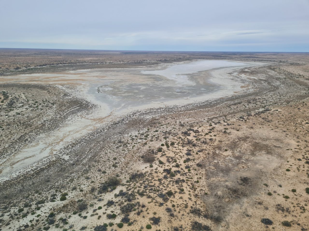
Lake Kilalpaninna was dry.
There was once a Lutheran mission here, with some display signs up to point to the graveyard and some of the remaining ruins.
On then to Kathi Thanda-Lake Eyre where we flew to the top of Survey Band 6 with the plan of seeing how much of the Warburton Groove had water. The satellite imagery indicated water and we were hopeful.

Warburton Groove in Kathi Thanda-Lake Eyre – dry after a flow earlier this year.
There was no current flooding at Kathi Thanda-Lake Eyre. You could still just see where the water had gone but obviously this was no place for waterbirds, given this wetland had dried up.
We stopped for fuel for the plane and us at William Creek, always a good place in this remote region to pick up supplies.
Afterwards, we crossed the dry Kathi Thanda-Lake Eyre and headed back east.

Dry southern part of Lake Eyre North.
It was dry all the way, almost to the border between New South Wales and South Australia.

Border between New South Wales and South Australia, marked by a section of the dingo fence and also showing differences in vegetation put down to more kangaroo pressure in the former without dingoes to control them.
We then surveyed about ten small wetlands which had recently filled from local rainfall. It can be very busy here but not today. With few of the wetlands flooded, there weren’t many waterbirds.
From here, it was just a series of small farm dams, with hardly any birds on them, as with so much other water available the birds have many options.

Farm dams, East of Kathi Thanda-Lake Eyre.

Flying by the Koonenberry hills.
It had been a long flight by now and we needed a break and so we stopped off at an airstrip near Peery Lake for a stretch.

Leg stretch near Peery Lake, on the carpet of wildflowers.
It was then on to the Paroo overflow Lakes. Peery Lake was supposed to be dry but the rains in the last week had already covered about sixty percent of the lakebed with flooded water.
Surveying Peery Lake.
This is part of the Paroo-Darling National Park, a magnificent system, particularly with the free-flowing Paroo River, guaranteeing long-term natural flooding patterns.

Peery Lake had a few hundred grey teal, pink-eared ducks and avocets mainly.
We then surveyed a series of lakes in the Paroo including Yantabangee Lake and Mulloowoolka Basin. These had a range of duck species and good numbers of pelicans and cormorants. The pied cormorants were breeding, with their nests in dead trees in the middle of the lake.
Surveying Yantabangee Lake.
Surveying Mullowoolka Basin.
After surveying the freshwater lakes, it was on to one of the salt lakes. This one rarely has any waterbirds, presumably because it is too salty. Today was no exception.
The Paroo River was certainly not as wet as it has been in the last couple of years, although some of the water we saw up north in its catchment would soon be coming through and filling many of these lakes.
Yammaramie Swamp was shallow and as a result had few waterbirds.
The day was long and we finished by surveying a very swollen and flooded Darling River. It has been many years since I have seen so much water in this river.
Surveying the Darling River.
There were a few waterbirds, more diversity than the usual cormorants and pelicans of the main channel, with grey teal and other ducks, usually in pairs.

The Darling River and its flooded floodplain.
On the Darling floodplain, we flew up the flow coming down the Warrego on Toorale National Park where the original cotton property was decommissioned with this dam allowing water to flow downstream.

Dam used to store water for cotton, now breached to allow water to flow downstream.