Date: Monday, October 15, 2018
Project: Eastern Australian Waterbird Survey
Observer: John Porter
Today marked the beginning of the NSW leg of our surveys. We head out of Sydney through heavy cloud to our first port of call – Burrendong Dam which held only low numbers of waterbirds, mostly cormorants, pelicans and a few flocks of wood duck. From there we follow the Macquarie River north west towards Dubbo. The floodplain is highly modified for agriculture and there are few floodplain wetlands to support waterbirds.
The Devils Elbow, Macquarie River, Dubbo (Pic Terry Korn)
After refueling at Dubbo we continue our journey westwards, moving through cropping and grazing land and then into much drier and harsher Mallee country. There are a few natural wetlands holding any water in this section and we count mainly over small (>1ha) farm dams, many of them dry or almost dry due to the intense drought conditions that still persist.
A dry claypan wetland east of Talyawalka Lakes (Pic John Porter)
We push further westward and the temperature climbs as a stiff 40 km/hr headwind springs up, slowing our progress and making the plane buck and jolt around. As we approach the Talyawalka lakes system we find the lakes are all bone dry, and visibility reduces even further with the wind whipping the dust high into the sky making counting waterbirds even more challenging. We fly down the Darling River adjacent to Menindee lakes but there are very low numbers of birds present.
Dust storm west of Menindee Lakes (Pic Terry Korn)
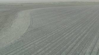
Lake Tandou is dry, being used now for intensive irrigated cropping it no longer functions as a productive wetland and supports relatively few waterbirds.
Lake Tandou and lakebed cropping (Pic Terry Korn)
