New national urban heat observatory will help drive more climate-resilient cities
School of Built Environment

School of Built Environment

An innovative urban heat methodology will help adapt our urban centres for more comfortable living.
A new national urban heat observatory will make our cities more liveable, sustainable and climate resilient. The National Heat Vulnerability Observatory (NaHVO) at UNSW will report and measure the heat vulnerability and cooling potential of Australia’s urban centres. The climate crisis is changing our cities; we must adapt the way we live, says Associate Professor Lan Ding from UNSW’s School of Built Environment.
“Urban heat is a major challenge for the future of Australian cities. Understanding its impact and developing appropriate intervention strategies is a critical and urgent task,” says the expert in sustainable cities, energy efficiency and environmental analysis.
The decade from 2010 to 2019 was our warmest on record. In January 2020, Western Sydney reached 48.9°C (half-way to boiling point) with Sydney and Melbourne set to face 50°C+ summer days in the near future. Rising temperatures particularly affect cities due to the urban heat island effect – the increased temperature of high-density urban areas compared to surrounding suburban or rural areas.
“This causes increased deaths and emergency admissions from heat waves, increased energy and water consumption, and equity issues for vulnerable populations,” she says. “We need evidence-driven strategies to support smarter cities that improve the quality of life for communities across regional and metropolitan Australia.”
The National Heat Vulnerability Observatory (NaHVO) is a partnership between the NSW Department of Planning and Environment and UNSW's High Performance Architecture team, led by A/Prof. Ding. The project’s advisory committee includes representatives from government, industry and academia.
The NaHVO will develop rigorous national datasets and an innovative, robust and consistent methodology to help cool our cities. It uses analytical modelling to allow cities and precincts to explore what-if scenarios for different mitigation and adaptation interventions.
The pilot in the regional cities of Maitland and Dubbo, funded by the Smart Places Acceleration Program, is developing its digital capability for it to be scaled nationally. The NaHVO will integrate with the NSW Spatial Digital Twin and other urban networks and government data platforms for cumulative impact.
The observatory will build city- and town-specific datasets for heat vulnerability to allow local government to tailor their mitigation programs for their specific local contexts. “At a state and national level, this will enable the monitoring of heat vulnerability and cooling trends across Australia, contributing significant public benefit,” A/Prof. Ding says.
This will help prioritise effective heat vulnerability investments and measure the impact of policies and investments over time. It will assist urban planners, developers and architects in designing local urban and building mitigation interventions.
The absence of standardised approaches to data collection, analysis and evaluation makes it difficult to measure the effect of mitigation and adaptation interventions, says A/Prof. Ding. Additionally, an analysis done for one location is not generally transferable to others due to differences in local topography, climate, built form and land use.
“By developing rigorous national datasets, we can better understand performance measures and, in turn, develop a sophisticated methodology and benchmarks for heat vulnerability,” she says. “It’s important to plan for resilient and smart places and communities to combat climate change and its serious impacts.”
The project builds on the success of the Microclimate and Urban Heat Island Decision-Support Tool. The decision-support tool bridges the gap between research on urban microclimates (localised climatic conditions) and its practical application.
“It facilitates evidence-based strategies to adapt to climate conditions, in particular urban heat, and minimise our environmental impact [through low-carbon approaches],” says A/Prof. Ding.
“The tool integrates scientific modelling with various urban heat mitigation techniques – such as building coatings, cool roofs and pavements, urban form and density, canopy cover and green space – to provide analyses of their impact, from building level to urban scale.”
The decision-support tool was developed by the UNSW High Performance Architecture team in partnership with extensive government and industry partners, including Greater Sydney Commission, Office of Environment & Heritage, Landcom, Sydney Water, NSW Spatial Services, Stockland, BlueScope Steel, AECOM, Geoscape Australia, multiple regional organisations of councils and Swinburne University.
Its easy-to-use interface means governments, developers and planners can use it to inform urban policy, development assessment, design and planning practices to promote greater thermal comfort.
“It allows users to efficiently assess options for cooling streetscapes and cities as well as decreasing energy consumption,” she says. “These activities also help to address social inequities, protect the population’s vulnerable health-wise, and improve conditions of comfort.”
Rising energy prices provide barriers for many residents to sufficiently cool or heat their homes, resulting in energy poverty (inequitable access to energy), she says. “This disproportionately affects low socio-economic groups living in areas, such as Western Sydney where the built environment is often characterised by heat-intensifying materials, such as asphalt and concrete, and poor urban design, including a lack of tree canopies and green space.”
The Microclimate and Urban Heat Island Performance Index indicates the impact of mitigation techniques on street-level temperature, health and mortality, and precinct-level energy consumption. This helps governments establish performance targets for more effective and climate-conscious planning across different contexts.

Visualisation using the Microclimate and Urban Heat Island Decision-Support Tool. Image: Supplied.
UNSW has conducted numerous case studies in Australia and internationally. UNSW worked with the City of Port Phillip to map and model heat in South Melbourne on the award-winning Cooling South Melbourne project.
South Melbourne was identified as a heat vulnerability hot spot due to its land use, demographics and ambient temperature. The City of Port Phillip were interested in understanding how they could reduce heat and create a comfortable and liveable precinct for residents, workers and visitors.
“The report calculated future climate projections and delivered nine cooling intervention scenarios, based on increasing public and private urban greenery, changes to street, footpath and roof materials, water misting, and combinations of these,” A/Prof. Ding says.
“It highlights the maximum possible cooling potential for South Melbourne under both current climate conditions in 2020 and future conditions in 2050.”
The research team conducted aerial and on-the-ground sensor thermal mapping to understand its heat profile. The intervention scenarios were also informed by a cooling impact analysis of Greater Melbourne using the Weather Research and Forecasting model (an innovative weather prediction system). The 3D model data was provided by City of Port Phillip, including typologies of new buildings and private green coverage scenarios.
The intervention scenarios were also integrated into the Microclimate and Urban Heat Island Mitigation Decision Support Tool to integrate with upcoming urban planning considerations. The City of Port Phillip continues to develop its approach to urban heating mitigation approach in accordance with the strategies identified in the study.
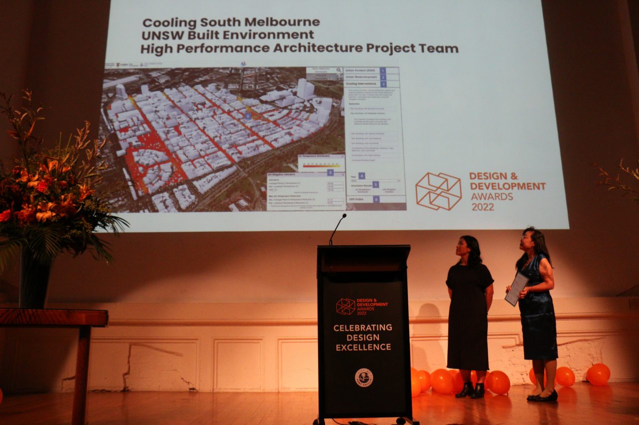
Prof Lan Ding receiving the Award for Excellence at the City of Port Phillip’s annual Design and Development Award Ceremony. Photo: UNSW, 2022.
“South Melbourne has been identified as a growth area so a key challenge for the City of Port Phillip is to manage this future growth and redevelopment in a way that does not limit its ability to mitigate and adapt to increasing heat,” says Renae Walton, Principal Climate Adaptation at the City of Port Phillip.
“The study’s findings allow for an evidence-based approach to heat amelioration that has learnings beyond South Melbourne to the whole of Melbourne city.”
The study’s analysis of and recommendations around built form (in the public realm: surface types, material use, plant species selection and planting density, and in the private realm: building form, structure, materials and green infrastructure) and its recommended public interventions will inform an updated South Melbourne Structure Plan.
The project received an Award for Excellence at the City of Port Phillip’s annual Design and Development Award Ceremony in 2022, demonstrating outstanding community benefit. “These smart methodologies address the demand for heat mitigation techniques at a local level with the ability to be scaled nationally. The future of our cities depends on it,” A/Prof. Ding says.
Lead image: Visualisation using the Microclimate and Urban Heat Island Decision-Support Tool. Image: Supplied..
This article was originally published in 2023.
